
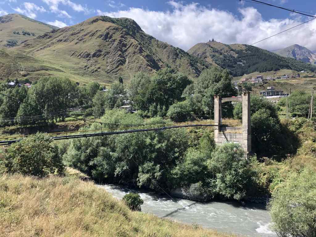
Not long after arriving in Georgia, I hopped on a marshrutka for a ride up the Georgian Military Highway. This road winds up from Tbilisi into the Greater Caucasus mountain range, and though its name hints at its strategic importance in times of war, its primary use is commercial. The entire route is bumper-to-bumper with freight trucks transporting goods between Russia and its former Soviet republics. Luckily I had an experienced driver who had no qualms about overtaking a truck on a hairpin curve on the side of a mountain.
About three hours from the Georgian capital, we reached the crest of the road at nearly 8,000 feet above sea level. I noticed that the rivers began to flow north toward Russia as we began the descent toward the border. Geographically, we had just crossed from Asia into Europe, though from a cultural and political perspective, that is a huge oversimplification – these mountains form the backbone of a very complicated region.
The steep snow-capped range contains Europe’s four highest peaks and forms a 750-mile long wall between Transcaucasia – the land between the Black and Caspian Seas – and the North Caucasus region in southern Russia. The valleys and plains in and around the mountains are home to dozens of ethnic and linguistic groups. Among these are the Georgians, who speak a Kartvelian language, the Armenians, who speak an Indo-European language, and the Azeri, who speak a Turkic language. Then there are the Ossetians, the Chechnyans, the Dagestanians, the Abkhaz, the Circassians, and of course the Russians, among many others. These groups seem to be locked in never-ending conflict that no one has the perfect solution to.
The marshrutka journey terminated in the town of Stepantsminda, the largest town in Georgia’s Kazbegi region and the last stop before the border with the Russian region of North Ossetia. Kazbegi is one of Georgia’s most popular mountain regions due to its accessibility from the capital. The number of hotels and new construction in Stepantsminda and at every scenic overlook along the highway attest that business seems to be booming.
I didn’t stay in Stepantsminda – I came to Kazbegi to spend some time away from the city. However, I didn’t leave before checking out one of the country’s most famous landmarks, the Gergeti Trinity Church. If you do a Google search for images of “Georgia the country“, it will be one of the top results. You can see this Georgian Orthodox from anywhere in Stepantsminda, as it looms high above at the summit of a steep hill. From the marshrutka stop, it looked much higher and farther than I had expected and I was briefly tempted to accept one of the taxi driver’s offers to skip the climb, but I decided I would rather enjoy the views on foot than from the back seat of a Lada.
The hike to Gergeti Trinity Church was indeed steep, but fortunately also short. It only took an hour before the church came into view and I emerged onto a huge parking lot packed with dozens of taxis and buses. Obviously this is not the scene I had pictured upon arriving at a small mountaintop church, but if you look past the chaos and the crowds, it’s still a beautiful place. I briefly walked through the church, which was overwhelmed with Georgians celebrating the Assumption of Mary (August 28 on the Georgian calendar). Behind the church, I took some time to enjoy the views of Stepantsminda and the nearby Mount Kazbek before heading back down the hill.
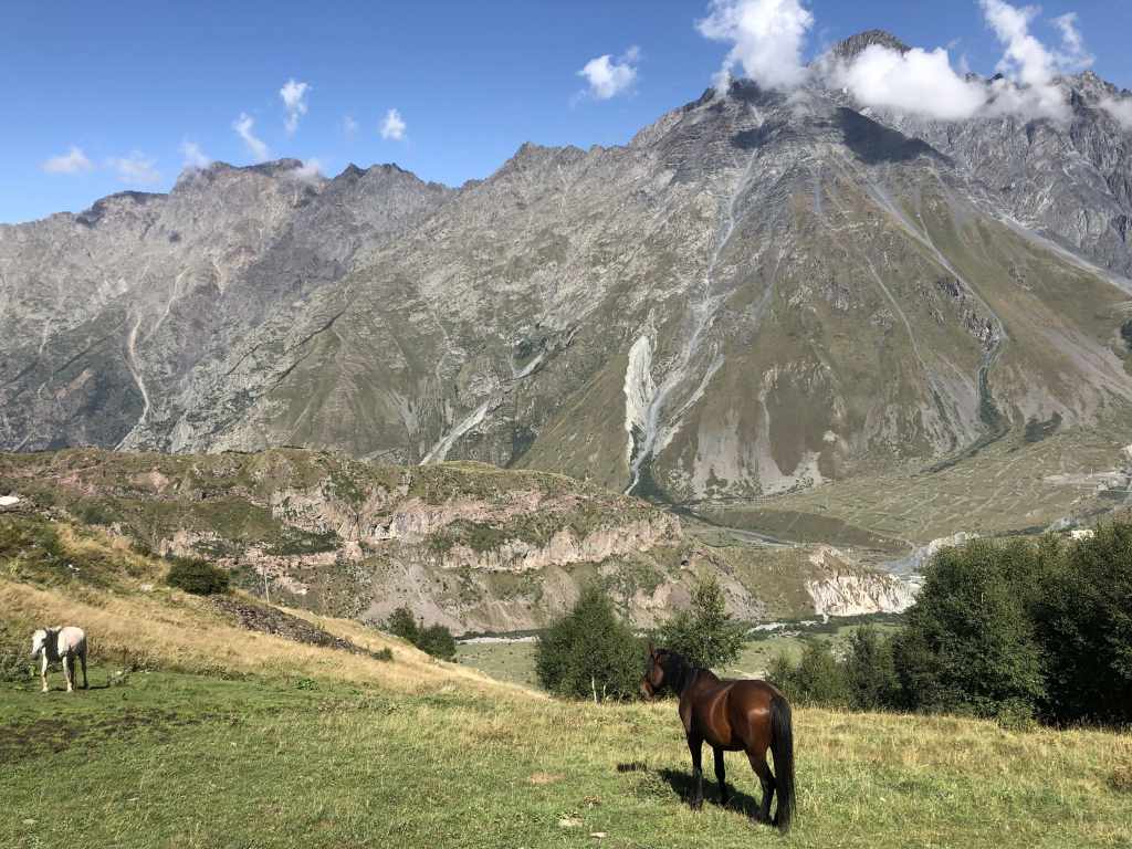
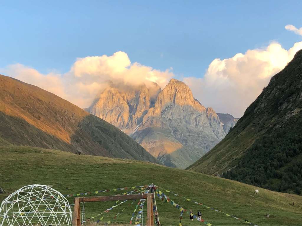
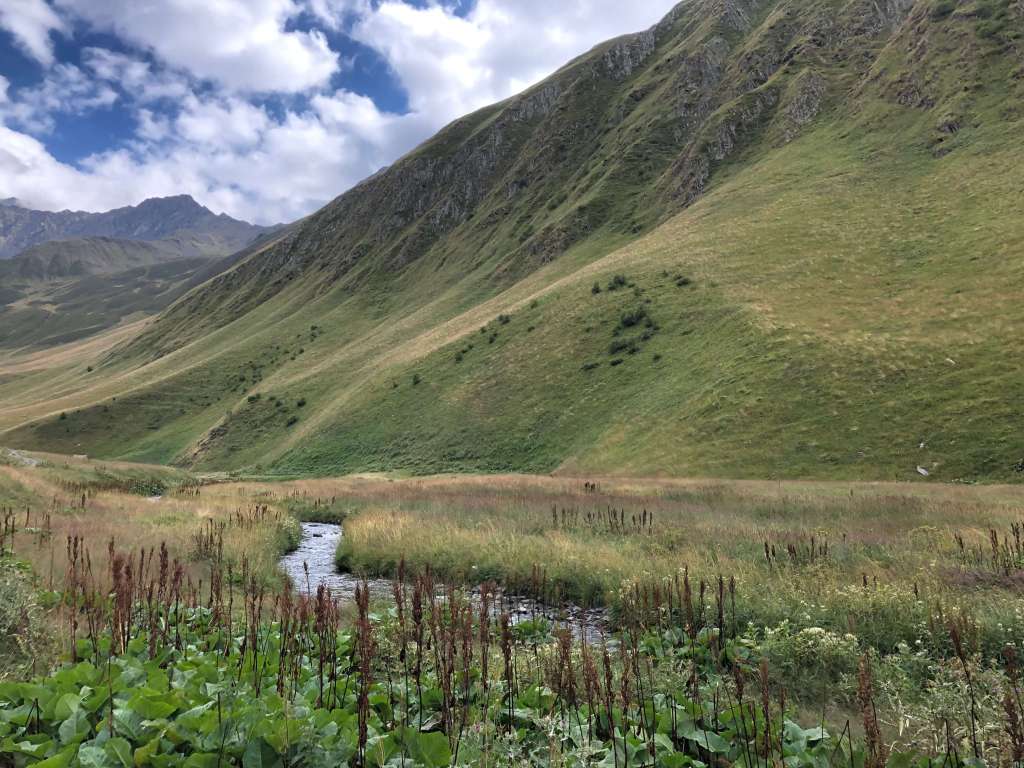
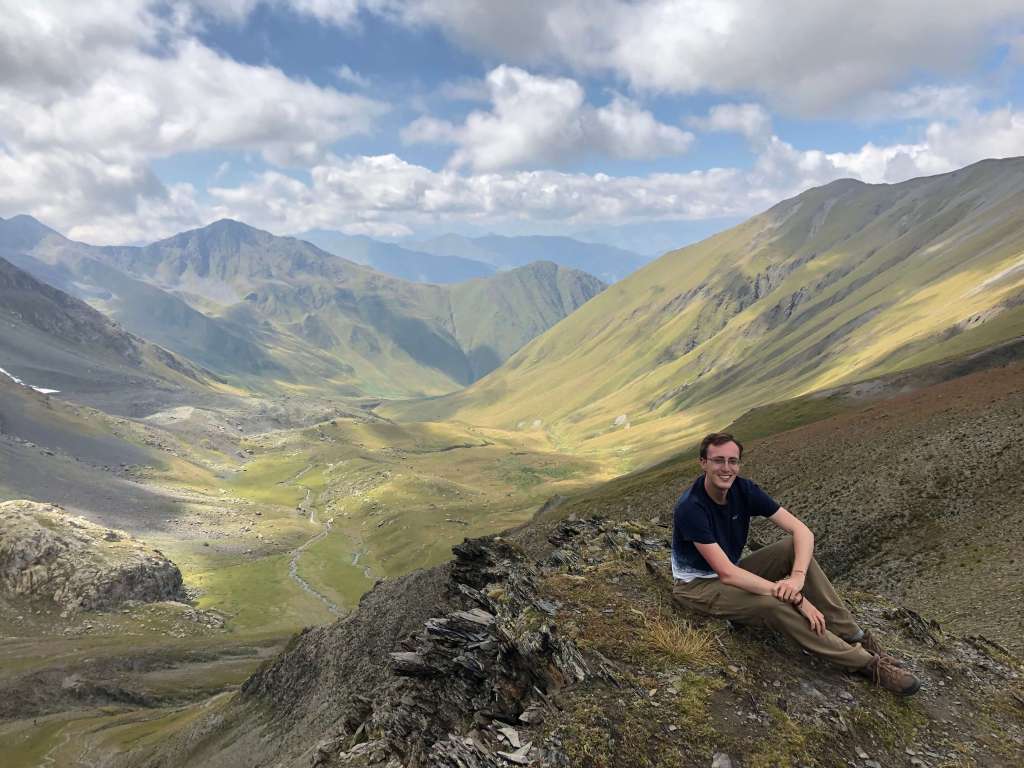
Back in Stepantsminda, I took a taxi about forty-five minutes up a deep valley on a potholed, unpaved road with no guardrails to a tiny village called Juta. I then left the village behind and hiked up a small hill to a budget traveler outpost called Zeta Camping. Strings of Tibetan prayer flags flutter around a small cluster of cabins and tents, with a chalet-style restaurant in the center. With no other signs of civilization in sight and a magnificent view of the steep face of the Chaukhi Massif, it was a great place to enjoy the natural surroundings. I spent the evening sipping Georgian wine-on-tap in the cool mountain air, and the next day hiking in the valley near the Chaukhi Massif. I had considered hiking over the Chaukhi Pass into the neighboring region, but the thick fog spilling up and over the ridge from the other side did not look promising, so I made it a round trip and returned to Juta to enjoy another peaceful evening surrounded by the Tibetan prayer flags.


One funny thing about traveling in small countries is that it is very possible to run into the same person multiple times. I ended up with the same taxi driver back to Stepantsminda (who gave me a discount the second time) and the same marshrutka driver back to Tbilisi. And funny enough, that wasn’t even the last time this happened in Georgia – welcome to Saqartvelo!

3 thoughts on “Hiking in the Mountains of Georgia”